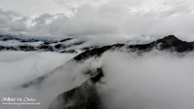
One of the three peaks of Okutama (with Mt. Gozen and Mt. Mitake), I'd say Mt. Otake has one of the biggest challenge in the area.
Budget: JPY3,530 (~USD33)
JPY1,190. Train, Tokyo to Musashi Itsukaichi Station.
JPY490. Bus, Musashi Itsukaichi Station to Senzoku Bus Stop.
JPY1,520. Okutama Station to Tokyo
Hike Date / Difficulty (Elevation: 1,266m / 4,154ft)
August 14, 2021.
This is my third time in this summit, the easiest route of which was via Mitake. I was looking for a training hike, and that's why I chose a longer route.
Difficulty: 4 out of 5
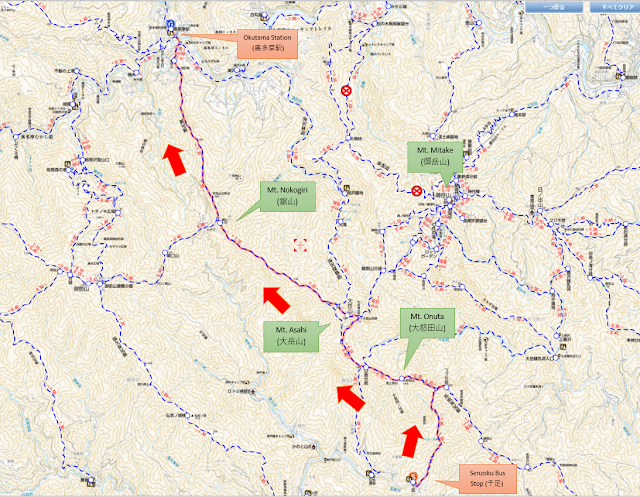
Route below is around 12kilometers, with an elevation change of ▲1,512m/ ▽1,455m
When to Go Anytime during the year! Though given the falls near Senzoku trail, do try to avoid heavy rain. I went there when it was drizzling (it was raining the entire time I was hiking, that one was ok).
Okutama Station (奥多摩駅). Right outside the station is a place to wash your shoes + brush to scrub off the mud.
Train, Tokyo to Okutama Station.
Senzoku Bus Stop (千足). Google maps pin. Google maps work. This is the "waterfall trail", so it has a lot of waterfalls and river crossings.
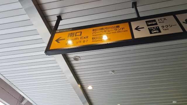
Train, Tokyo to Musashi-Itsukaichi Station. Exit via South Exit.
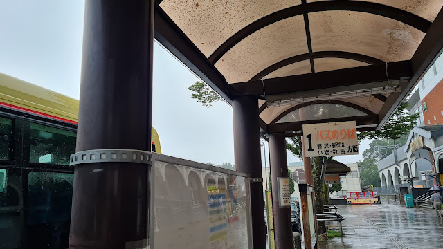
Bus, Musashi-Itsukaichi Station to Senzoku Bus Stop. Bus schedule, bus stop 1.
Mountain huts.
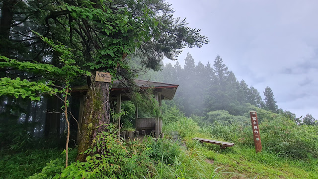
Paid. There's a 大岳山荘, but it is closed. Don't know if they will open.
Free. None.
Camping. None. Well, near Okutama Station.
Actual Log
10:00am ish. Arrived at Musashi Itsukaichi Station, took the South Exit, went to bus stop 1 and waited for my bus. Took the bus to Senzoku.
10:36am. Arrived at Senzoku Bus Stop. From the bus stop, crossed the street, walked about 10 meters more (direction of where the bus was going), and took the right turn. Walked up the cemented road for a while. Since it was drizzling when I did the hike, some parts of the road had flowing water.
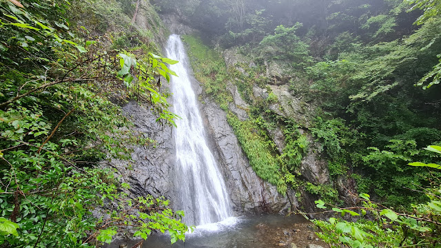
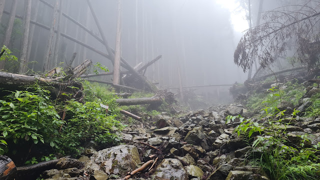
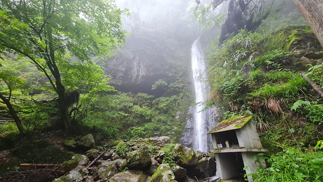
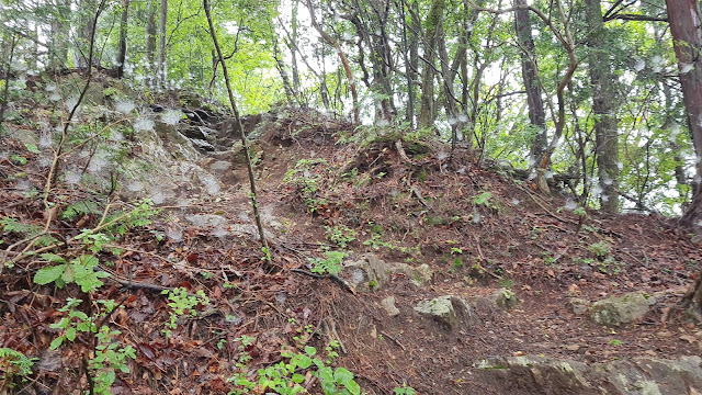
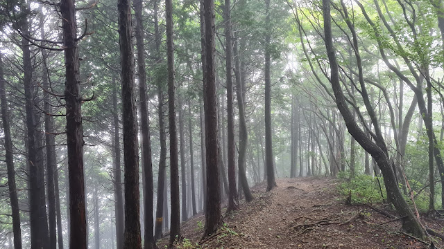
10:57am. Arrived at the trailhead. Followed the trail, and had to cross a river about a minute. This was the theme of the hike using Senzoku trail - plenty of waterfalls. Some trails were not that clear, so I had to check my map to be sure that I'm on the right path. There were two main falls that I passed through, and more than three rivers I had to cross. The river crossings had enough rocks to step on though, so nothing that requires taking off my shoes for.
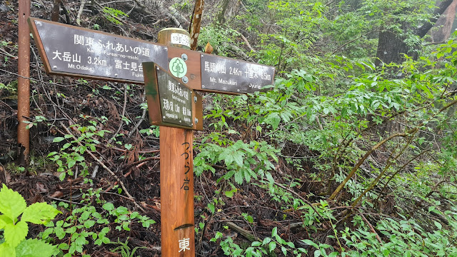
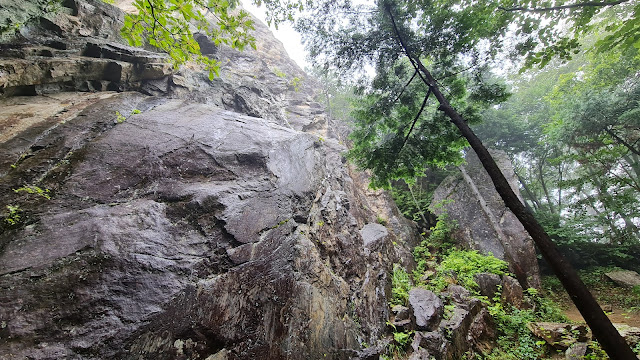
12:24pm. Arrived at Tsutsuji Rock (つつじ岩), which is a huge block of rock on the ridge. You can go up the rock and see Mt. Fuji, but in my case it was drizzling so no visibility either way. I skipped it, turned left, and continued on.
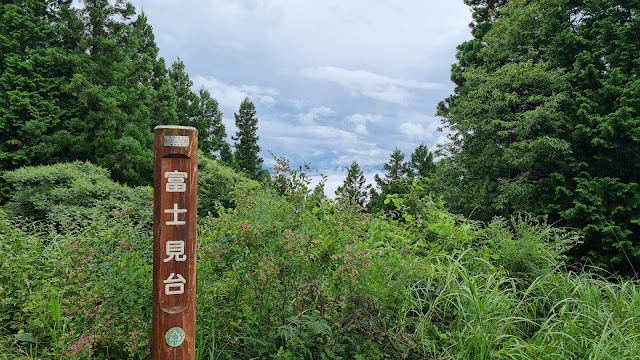
01:06pm. Arrived at Mt. Onuta (大怒田山), flew the drone for a bit. I saw the marker for 富士見台 which is the viewing point for Fuji (again, no visibility), and it took me a while to find the marker for the summit. It was a huge area with a couple of tables and benches.
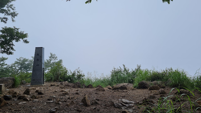
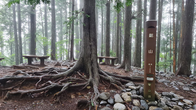
02:17pm. Arrived at Mt. Otake's empty summit. This is my first time arriving in one of the summits in Okutama, with not a single soul around. Probably has something to do with the typhoon in the forecast, but it was eerie. I continued on to Mt. Nokogiri.
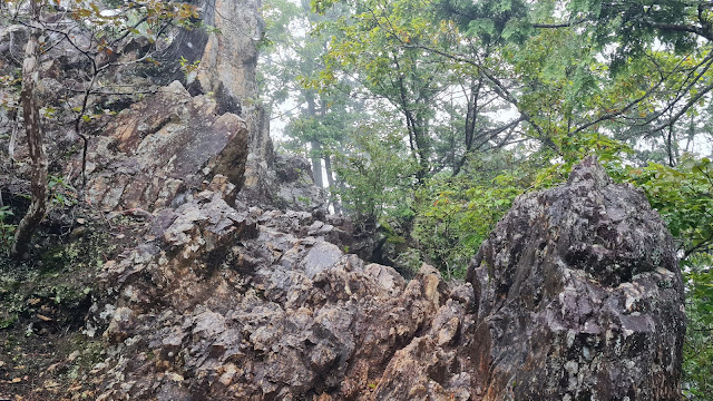
03:39pm. Arrived at Mt. Nokogiri. Also empty, but I saw about 3 trail runners on my way. The trail from here on is rocky, and at times sketchy. Definitely not somewhere I'd bring a beginner on.
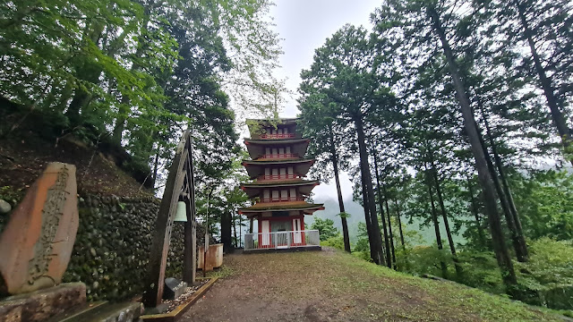
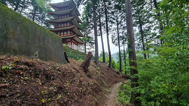
05:22pm. Arrived at the Atago shrine. At this point it was getting darker and I was getting a bit nervous.
05:40pm. Arrived at the trailhead! Finally! Whew. I walked to Okutama Station, and took the train back home. Whew.
At Musashi Itsukaichi Station, take South Exit.
Bus stop 1.
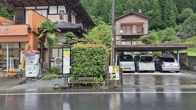
Looking back at the bus stop where I was dropped off. My google maps showed the wrong bus stop, and thankfully the driver and I chatted and he dropped me off here, which is the bus stop I put in the trailheads above.
Crossed the street, took the right turn in the middle of this picture.
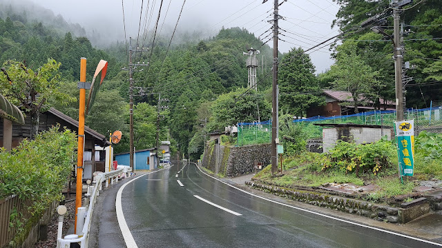
Went up this water-y road. Definitely need shoes with good traction.
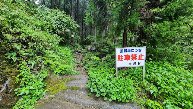
Almost at the trailhead. It's at the end of this road.
Here's the end of the road above.
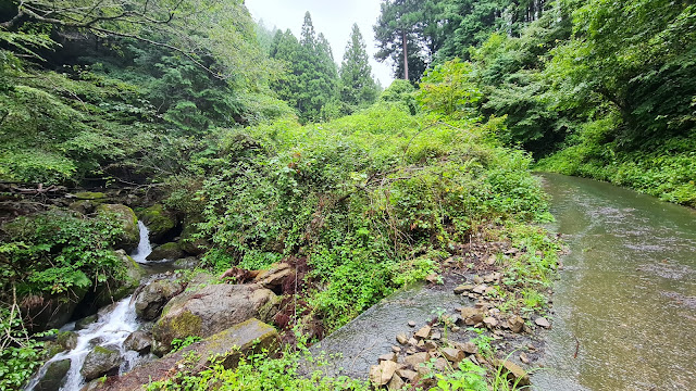
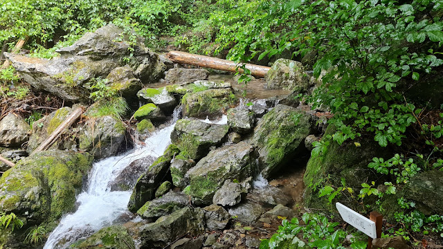
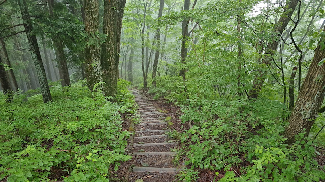
A good portion of the trail involves crossing rivers.
and lots of falls.
Trail is right in front of this falls.
Find the trail mark!
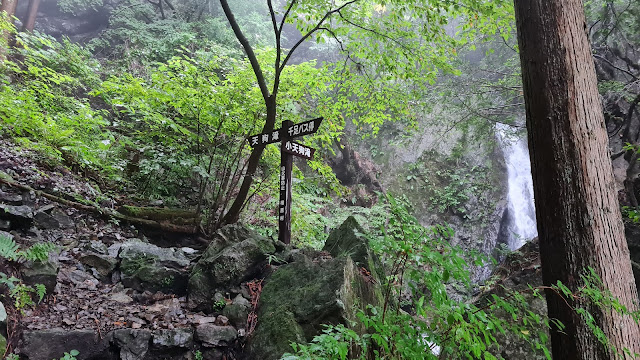
Another set of falls.
Once I reached Tsutsuji Rock (つつじ岩), there were clearer signs.
Tsutsuji Rock. Some posts said that Mt. Fuji is visible at the top. Since there was zero visibility when I went there, I decided not to hike up.
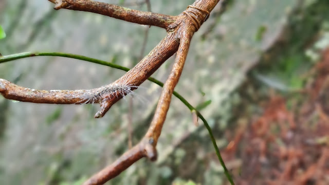
Uhm, no.
SO MUCH SPIDER WEBS!
The viewing point of Fuji. See?
Mt. Onuta (大怒田山) 's marker.
Going down.
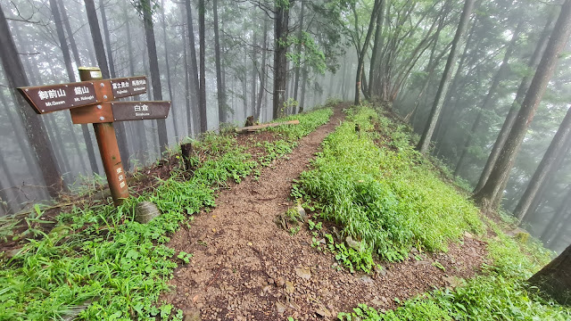
Looking back at the fork. Plenty of signs like this.
Finally at Mt. Otake! I'm done... right?
Near the summit is this flat spot.
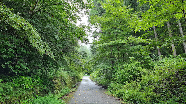
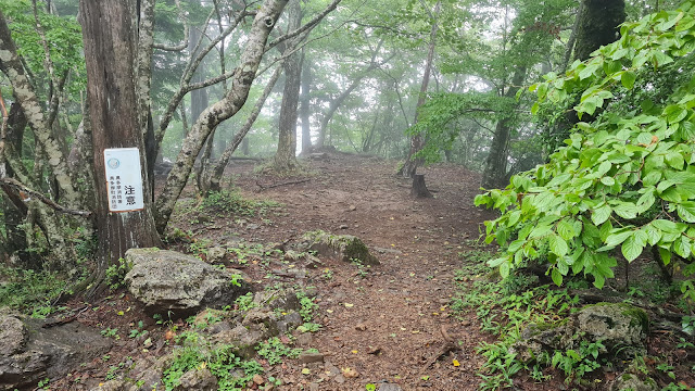
Continuing on.
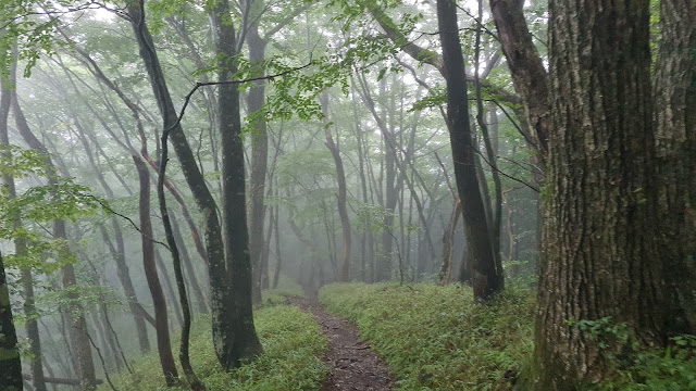
It was a beautiful walk though. I've met about 7 people in total at this point.
Nokogiri-yama's marker!
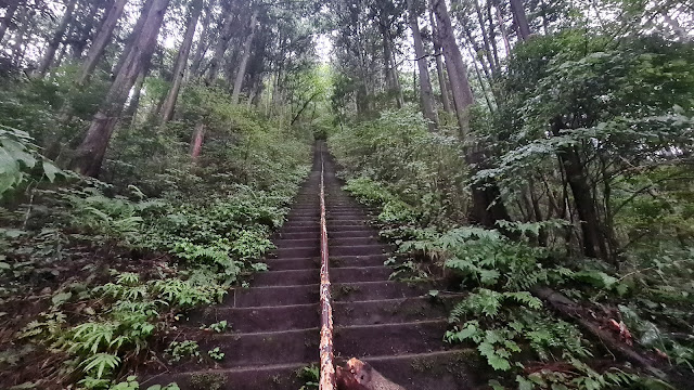
Had to cross this sketchy section. There's quite a bit of them.
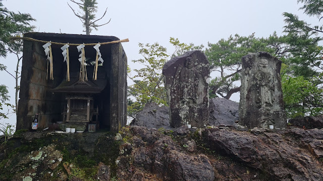
Reached a shrine.
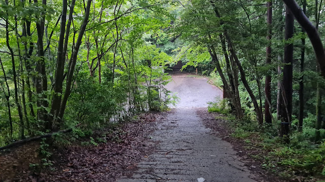
Had to cross a parking lot...
I think this is the Atago shrine?
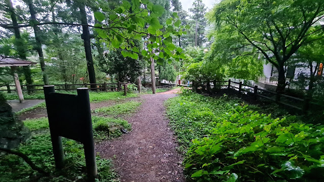
The trail is right beside it.
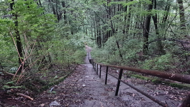
The last push! A million stairs down!
View from the bottom.
Whew! Civilization!!!
This is what's shown in the marker above.
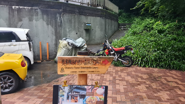
Here's the sign if you you want to do the hike in reverse.
Comments
Post a Comment
Comments are like mail in my postbox. Such a nice surprise. ^__^